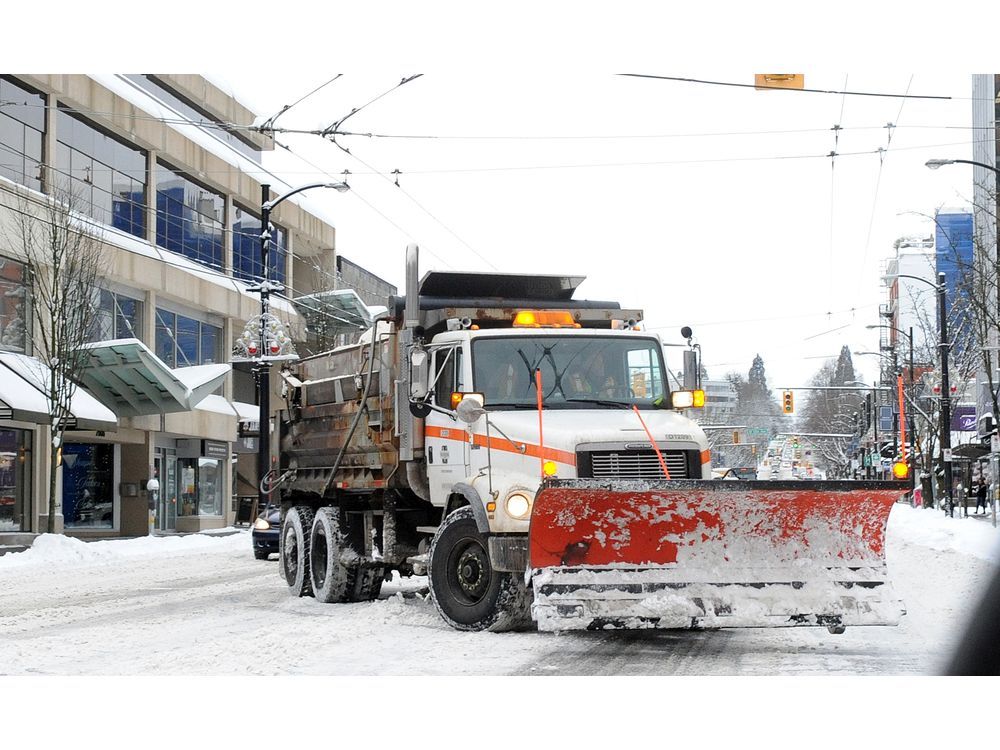
Winter storm and avalanche alerts for B.C.'s South Coast

Credit to Author: Tiffany Crawford| Date: Fri, 17 Jan 2020 16:23:22 +0000
After a series of winter storms this week on B.C.’s South Coast caused school and road closures, traffic woes, and power outages, residents may be looking forward to a break.
But it’s not over yet. Multiple winter storm and avalanche warnings are in effect Friday, including a new alert for more snow in Metro Vancouver, the Sunshine Coast and on Vancouver Island.
Environment and Climate Change Canada posted a special weather statement early Friday morning for more snow or freezing rain, and strong wind, in Metro Vancouver and the Sunshine Coast, with snow accumulations of five centimetres possible at higher elevations.
The storm will arrive Friday night with snow beginning late this evening across the South Coast, the agency said. However, the storm will also being warmer air, and so the snow is likely to change to rain or freezing rain at some point.
By midday Saturday, forecasters say the snow will have switched to rain in Metro Vancouver.
The Fraser Valley, Howe Sound, and the Sea to Sky Highway, meantime, remain under a winter storm watch, with strong wind and heavy snow expected Friday night and Saturday. There is also a chance the snow could change to freezing rain in this part of the region as well.
Commuters in Metro Vancouver Friday should expect delays again on transit, said TransLink spokesperson Ben Murphy. A track issue was impacting SkyTrain service on the Expo Line early Friday morning.
TransLink says a shuttle train service is operating between Stadium-Chinatown Station and Burrard Station. There is no Expo Line service in or out of Waterfront Station. TransLink says it will add bus service to assist passengers.
The Millennium SkyTrain Line was also running slower than usual, while the Canada Line was running as normal. Morning radio traffic reports warned of black ice on the roads, creating hazardous driving conditions.
Elsewhere, most of Vancouver Island was under snowfall or wind warnings Friday. The Inland section is expected to see up to 15 centimetres of snow by Saturday morning, according to Environment and Climate Change Canada, while an intense wind storm could bring gusts of up to 110 km/h to the northern part of the island.
Parts of Vancouver Island (especially eastern) received a lot of snow with last night's system. Here are some reports we have received… #BCStorm pic.twitter.com/kumL0dTal1
Meantime, Avalanche Canada says while the avalanche risk is considered moderate for the South Coast on Friday, the hazard rating is expected to be high on Sunday.
The agency says winds have scoured many exposed areas and redistributed snow into lower elevations. It warns backcountry enthusiasts to watch for newly formed wind slabs and avoid steep, sheltered slopes where “a stubborn storm slab may still react to a human trigger.”
On Saturday, the risk climbs to “considerable” in all areas (alpine, tree line, and below tree line) of the mountain and then on Sunday all areas will be at a “high” risk for a slide.
At the height of the storm Wednesday, hurricane force winds of up to 150 km/h blew across Howe Sound, knocking down trees and power lines. More than 15,000 BC Hydro customers had power outages. Thousands were still in the dark on Thursday.
However, by Friday it appeared that BC Hydro had repaired most of the damage and only about 400 customers remained without power.
Most public schools, universities, and colleges in the region were open again Thursday and Friday after a rare snow day Wednesday. Public schools remained closed Thursday in Chilliwack and Mission, but by Friday they were open, with the exception of Deroche Elementary in Mission.
ticrawford@postmedia.com
More to come…